search
Western Poland map
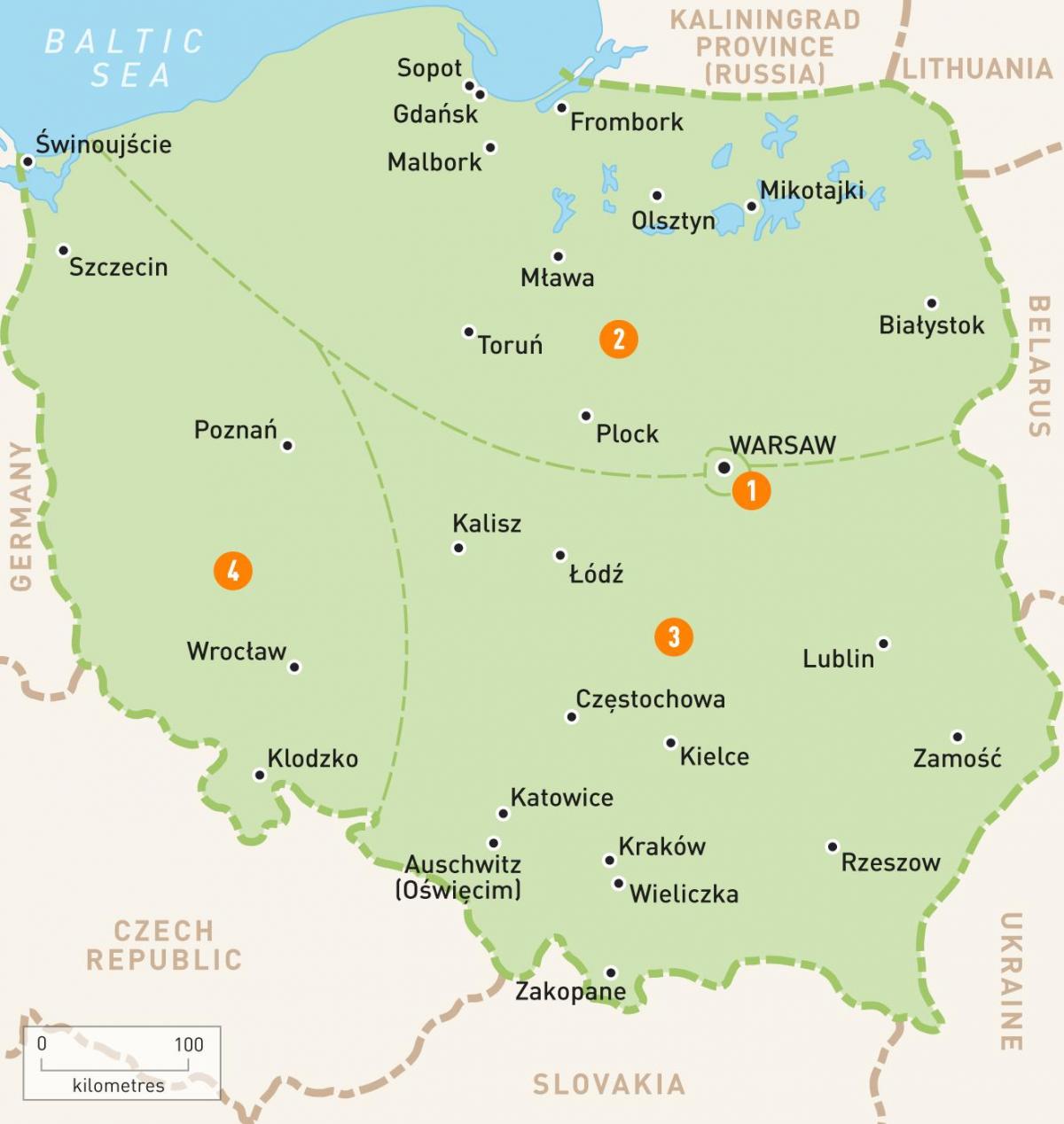
Map of Poland western. Western Poland map (Eastern Europe - Europe) to print. Western Poland map (Eastern Europe - Europe) to download. Tossed for centuries back and forth between the Poles, Germans and Czechs, Poland southwestern province of Silesia is a fascinating blend of cultures, languages and architectural styles. Its main city, Wrocław, is the focus of Poland new economic dynamism. Vibrant Poznań to the north, the heart of the original Polish nation, is one of the country oldest cities and a key commercial link to Western Europe as its shown in western Poland map.
Hugging the German border, Western Poland is made up of the West Pomeranian, Lubusz and Lower Silesian Voivodships (Provinces), the largest cities of which are Szczecin, Gorzow Wielkopolski and Wroclaw respectively as its mentioned in western Poland map. Both Szczecin and Wroclaw are beautiful medieval cities with many popular attractions. Drawno National Park, part of the massive Drawska Forest, lies at the convergence of West Pomerania, Lubusz and Greater Poland. Lubusz is also home to the bird-filled Ujscie Warty National Park.


