search
Poland municipalities map
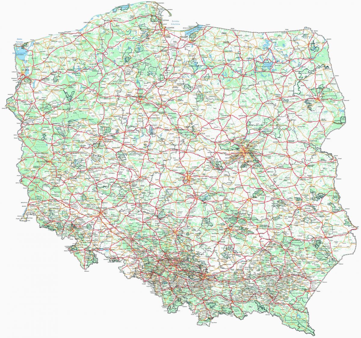
Map of Poland municipalities. Poland municipalities map (Eastern Europe - Europe) to print. Poland municipalities map (Eastern Europe - Europe) to download. The gmina (Polish pronunciation [ˈɡmina], plural gminy [ˈɡminɨ]) is the principal unit of administrative division of Poland at its lowest uniform level. It is often translated as "commune" or "municipality." As of 2010 there were 2,479 gminas throughout the country as its shown in Poland municipalities map. The word gmina derives from the German word Gemeinde, meaning "community." The gmina has been the basic unit of territorial division in Poland since 1972, when it replaced the smaller gromada (cluster). There are three types of gminas: urban gmina (gmina miejska) consisting of just one city or town, mixed urban-rural gmina (gmina miejsko-wiejska) consisting of a town and surrounding villages and countryside; and rural gmina (gmina wiejska) consisting only of villages and countryside.
Some rural gminas or municipalities in Poland have their seat in a town which is outside the gmina division. For example, the rural Gmina Augustów is administered from the town of Augustów, but does not include the town, as Augustów is an urban type gmina in its own right as its mentioned in Poland municipalities map. An urban gmina is normally referred to only, by the name of the city or town in question. Other types of gminas are called "Gmina X", where "X" (in the vast majority of cases) is the name of town or village in which the gmina has its seat. The legislative and controlling body of each gmina is the elected municipal council (rada gminy), or in a town: rada miasta (town assembly). Executive power is held by the directly elected mayor of the municipality, called wójt in rural gminas, burmistrz in most urban and urban-rural gminas, or prezydent in towns with more than 100,000 inhabitants and some others which traditionally use the title.


