search
Poland ports map
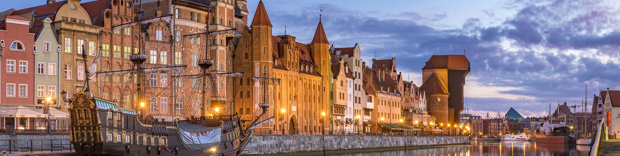
Map of Poland ports. Poland ports map (Eastern Europe - Europe) to print. Poland ports map (Eastern Europe - Europe) to download. The main ports in Poland are Gdańsk, Gdynia, Szczecin and Świnoujście. Apart from these important ports there are also numerous marinas for yachting enthusiasts to call at. The Port of Gdańsk is the largest Polish port. The Port of Gdańsk is a seaport located on the southern coast of Gdańsk Bay in the city of Gdańsk (Danzig), extending along the Vistula estuary Martwa Wisła (Dead Vistula), Port Channel and Kashubia Canal as its shown in Poland ports map. It is one of the largest seaports on the Baltic Sea. Port of Gdynia – the Polish seaport located on the western coast of Gdańsk Bay Baltic sea in Gdynia. Founded in 1926. In 2008 it was #2 in containers on the Baltic sea.

The Port of Świnoujście [ɕfinɔˈujɕt͡ɕɛ] ( listen) (in Polish generally Port Świnoujście) is a Polish seaport in Świnoujście, Poland at the Baltic Sea located at the Świna strait, on Wolin and Usedom islands as its mentioned in Poland ports map. The port has passenger terminal. In 2006, cargo traffic in the seaport was equaled 9,241,500 tons, and it comprised 15.3% of all cargo traffic in Polish seaports. The Port of Kołobrzeg [kɔˈwɔbʐɛk] ( listen) (in Polish generally Port Kołobrzeg) is a Polish seaport in Kołobrzeg, Poland at the Baltic Sea located at the Parsęta river. Port has a yacht harbour, fishing harbour, ferry harbour. In 2006, cargo traffic in the seaport was equaled 157,600 tons