search
Poland rail map
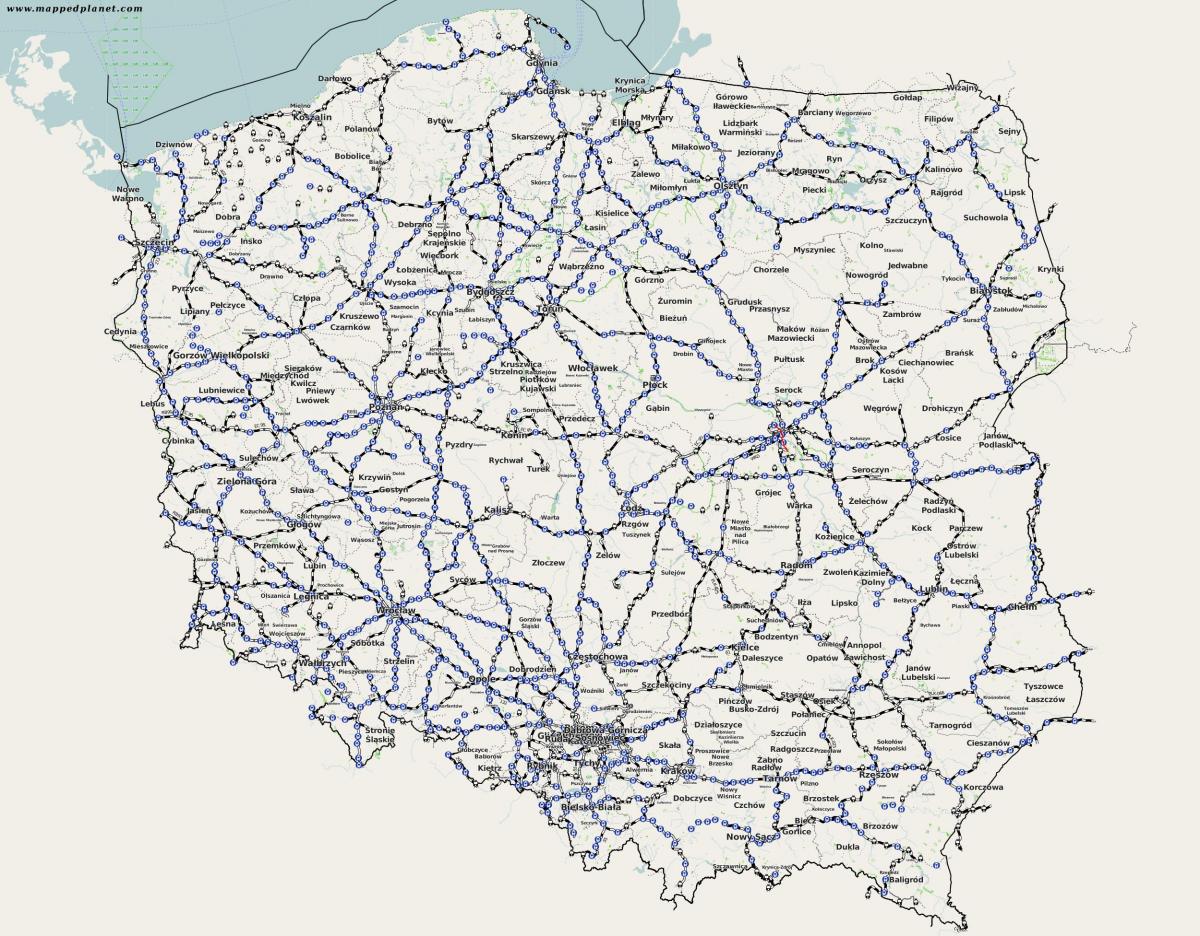
Map of Poland rail. Poland rail map (Eastern Europe - Europe) to print. Poland rail map (Eastern Europe - Europe) to download. The Polish railways network currently consists of around 19,599 kilometres (12,178 mi) of track, of which the vast majority is electrified using a 3 kV DC overhead line system as its shown in Poland rail map. The average age of Poland railway network is now so high that many sections of track are limited to speeds of 100 km/h (62 mph) or less and although 'high-speed lines' do exist they rarely exceed an average speed limit of 160 km/h (99 mph); the exception to this rule being the Central Trunk Line which runs from Warsaw to Katowice and allows speeds of up to around 220 km/h (140 mph) (soon to be upgraded to 260 km/h/160 mph).
Rail transport has many uses in Poland and although this is generally kept within the long/short distance passenger and freight category it is also used in the form or rapid transit in some areas. This includes as its mentioned in Poland rail map: PKP Szybka Kolej Miejska in the Tri-city area of Northern Poland, Warszawska Kolej Dojazdowa A suburban railway in the capital, Warsaw, Szybka Kolej Miejska a suburban, city-owned line in Warsaw and Warsaw Metro An underground metro system in operation in Warsaw which is currently undergoing a period of rapid expansion and modernisation.
Poland uses the standard gauge for its railways, except for Linia Hutnicza Szerokotorowa and a few very short stretches near border crossings. Linia Hutnicza Szerokotorowa (known by its acronym LHS, English: Broad gauge metallurgy line) in Sławków is the longest broad gauge railway line in Poland as you can see in Poland rail map. The line runs on a single track for almost 400 km from the Polish-Ukrainian border, crossing it just east of Hrubieszów. It is the westernmost broad gauge railway line in Europe that is connected to the broad gauge rail system of the countries of the former Soviet Union.


