search
Poland climate map
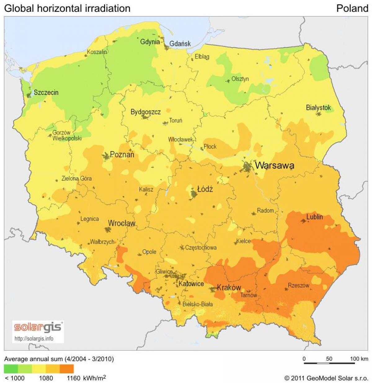
Map of Poland climate. Poland climate map (Eastern Europe - Europe) to print. Poland climate map (Eastern Europe - Europe) to download. Poland's long-term and short-term climate patterns are made transitional and variable by the collision of diverse air masses above the country surface. Maritime air moves across Western Europe, Arctic air sweeps down from the North Atlantic Ocean, and subtropical air arrives from the South Atlantic Ocean. Although the Arctic air dominates for much of the year, its conjunction with warmer currents generally moderates temperatures and generates considerable precipitation, clouds, and fog. When the moderating influences are lacking, winter temperatures in mountain valleys may drop to a minimum of −20 °C (−4 °F) as its shown in Poland climate map. The spring arrives slowly in March or April, bringing mainly sunny days after a period of alternating wintry and springtime conditions. Summer, which extends from June to August, is generally less humid than winter.
The range of mean temperatures is 6 °C (42.8 °F) in the northeast to 10 °C (50 °F) in the southwest, but individual readings in Poland regions vary widely by season. On the highest mountain peaks, the mean temperature is below 0 °C (32 °F) as its mentioned in Poland climate map. The Baltic coast, influenced by moderating west winds, has cooler summers and warmer winters. The other temperature extreme is in the southeast along the border with Ukraine, where the greatest seasonal differences occur and winter temperatures average 4.5 °C (40.1 °F) below those in western Poland. The growing season is about 40 days longer in the southwest than in the northeast, where spring arrives latest. The hottest cities in Poland are Tarnów, Wrocław and Słubice.


